Hurricane Polo: How a tropical storm became Category 5 in 24 hours
Polo gained 90 knots in 24 hours and reached Category 5. Warm water, deep ocean heat and low wind shear explain the jump – not El Niño alone.
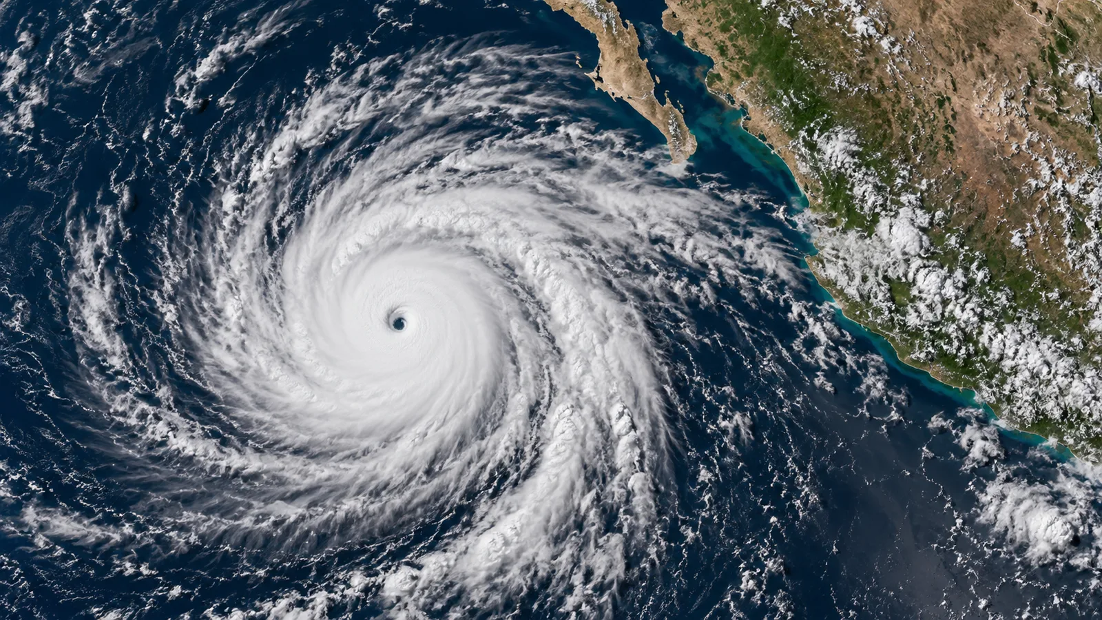
Hurricane Polo went from a powerful storm to a top-category hurricane within a single day in the eastern Pacific. By 22 September its maximum sustained wind speed had increased by 90 knots, or 167 kilometres per hour. That far exceeds even the meteorological threshold for «extremely rapid intensification».
The case shows why the intensity of tropical cyclones remains hard to forecast at short notice. Several favourable conditions coincided: exceptionally warm sea, moisture, atmospheric instability and only weak wind shear. No single one of these factors explains the entire jump.
From depression to Category 5
In mid-September Polo was initially a tropical disturbance off Mexico's Pacific coast. On 20 September the National Hurricane Center classified the system as a tropical depression, a day later as a tropical storm. After that, its development accelerated drastically.
On 22 September Polo reached Category 5. Reconnaissance flights by the US weather authorities measured sustained winds of almost 285 kilometres per hour at times. The official value then fluctuated because of changes in the storm's inner structure, including an eyewall replacement. That does not change the extraordinary speed of the preceding intensification.
What «explosive intensification» means
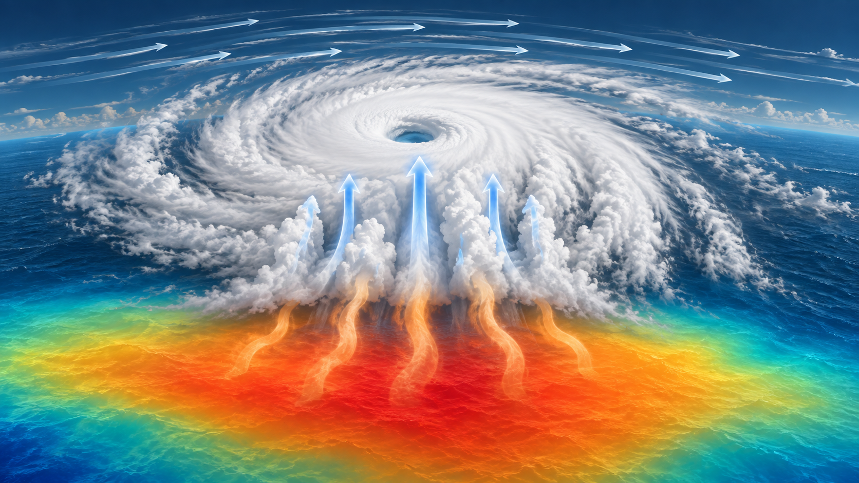
Specialists usually speak of rapid intensification when a tropical cyclone's maximum sustained wind speed increases by at least 30 knots within 24 hours. For extreme or explosive intensification, a threshold of 60 knots is often used. Over the observed period, Polo gained 90 knots.
Such figures describe a rate of change, not a hurricane category of their own. The categories of the Saffir-Simpson scale are based on sustained wind speed. Hazards from rain, storm surge, surf or landslides are not fully captured by them.
Sea surface up to three degrees warmer
NASA analyses show surface temperatures of up to about 32 degrees Celsius along Polo's track. In parts of the region, the water on 23 September was two to three degrees above the reference value for the same calendar day. Warm water supplies a storm with energy and moisture.
Equally important was the heat in deeper water layers. A hurricane churns up the ocean and can thereby bring cooler deep water to the surface, which slows it down. In Polo's case this cooling effect evidently remained small. Weak upper-level winds were another factor: when wind direction and speed change sharply with height, a storm's vertical structure is disrupted. That shear was low around Polo.
El Niño is not a stand-alone explanation
The eastern Pacific in 2026 was shaped by El Niño. That can favour the large-scale conditions for hurricane activity in the region. Researchers nevertheless warn against attributing Polo's intensification directly and solely to El Niño. Eastern Pacific storms have also intensified very rapidly during neutral phases or La Niña.
The link to climate change has to be phrased just as carefully. Warmer oceans generally increase the energy available and can favour intense rainfall. From a single storm, however, it cannot be derived what share of its specific development is due to human-made climate change. That requires attribution analyses that compare the event with model worlds with and without an additional greenhouse effect.
A small core, large risks
Polo stayed over the sea, but its outer bands reached the Mexican coast. At times the National Hurricane Center warned of heavy rain, life-threatening surf, currents and possible flooding or landslides. A storm does not have to make direct landfall to cause damage.
For warning agencies, rapid intensification creates a problem of time. Evacuations, port closures and protective measures need lead time, while the danger can rise abruptly within a day. Improved satellites, reconnaissance aircraft and ocean measurements narrow the knowledge gap, but do not close it.
Polo is therefore more than a comparison of records. The storm shows that coastal regions must not look only at the forecast track. Just as decisive is how quickly a system can strengthen – and whether warnings, infrastructure and the population are prepared for that speed.
Sources
NASA Earth Observatory: Explosive Intensification for Hurricane Polo


