Hydrological Yearbook: the dry spring behind the annual average
The FOEN reports low levels and discharges in spring 2025. A new April low on the Rhine at Neuhausen and corrections in the monitoring network call for careful classification.
The «Hydrological Yearbook of Switzerland 2025» describes a year whose average figures only partly capture its most difficult phase. Discharges and water levels of many rivers and lakes were below average over the year as a whole. Low water was particularly pronounced in spring on the northern side of the Alps. Only heavy precipitation from the end of July onwards allowed Lake Constance, for instance, to rise sustainably back into the range of ordinary levels. The finding in the FOEN yearbook is therefore not a blanket verdict on every month and every region.
One lake, several drought phases
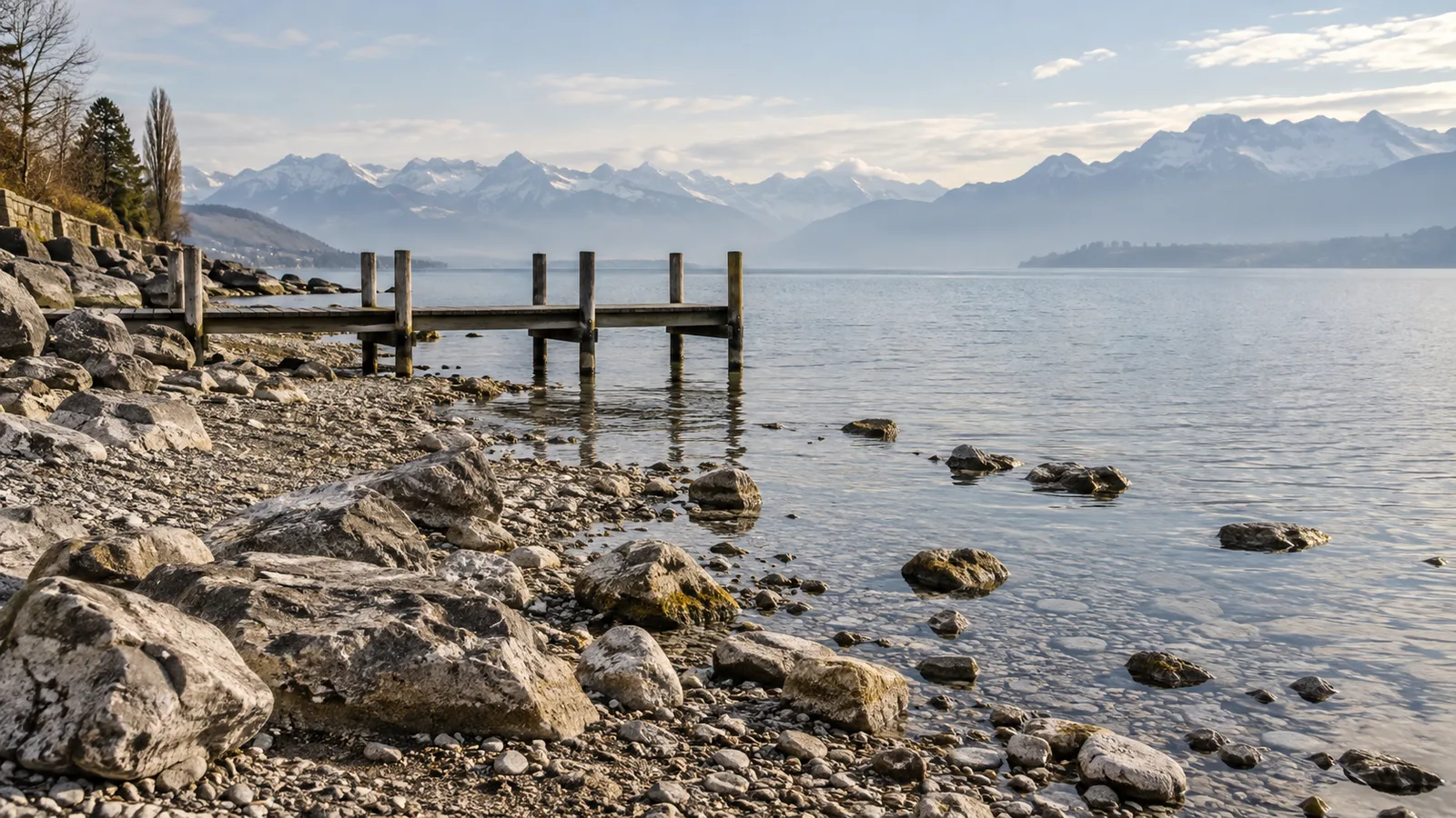
Little precipitation in February and a thin snowpack at higher elevations reduced the inflow into streams, rivers and lakes in spring. According to the report, eastern Switzerland was particularly affected. On Lake Constance, daily means at the Untersee near Berlingen fell below earlier daily minima of the 1991 to 2020 reference period from 24 March onwards. On 14 April the level stood at 394.53 metres above sea level, 26 centimetres below the average for that calendar day. The lowest value ever measured in April, 394.41 metres, however, dates from 1972. So 2025 must not be turned into a new absolute April record.
A brief rise in June did not amount to a lasting recovery. The Alpine Rhine, an important inflow, soon carried less water again. Only several phases of heavy rain from 20 July onwards lifted the level to average values. For comparison, the yearbook cites the dry years 1921 and 1972, but describes different chronological patterns. A historical comparison explains the classification better than the claim that Lake Constance was «lower than ever» in 2025.
The Rhine Falls show the consequences downstream
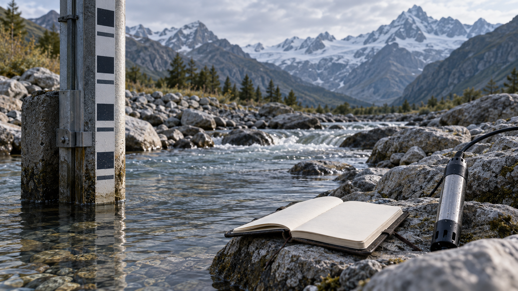
On the Rhine near Neuhausen, close to the Rhine Falls, the monthly mean discharge in April 2025 was 181 cubic metres per second according to the FOEN. For the measurement series at today's site since 1959, that was the lowest April monthly mean. Until 29 July the discharge remained below 400 cubic metres per second. That is a statement about this gauging station and this period, not proof of a historic low on every Swiss river.
At other regulated lakes on the northern side of the Alps, water levels could partly be kept within the average range. In return, the outflows below the lakes were low. For people who see only the lake level, the drought can therefore be less visible than in the river data. A water management measure shifts the form in which the shortage appears here, but does not remove it. In summer, thunderstorms and heavy precipitation caused local flooding, among other places at Lago Maggiore; no very large flood events occurred, according to the FOEN's assessment.
What the monitoring network teaches about the limits of the data
The yearbook documents more than the consequences of weather. In the rockfall at Blatten in the Lötschental on 28 May 2025, the FOEN gauging station on the Lonza was destroyed. It had supplied data since 1956 and transmitted readings until roughly ten minutes before the event. The canton of Valais then installed probes to monitor the impounded water; the FOEN is examining a replacement and the transfer of data together with the canton. When a station fails or is relocated, continuing a long measurement series is itself a task. That matters for flood forecasting and for the analysis of glaciated catchments.
More everyday corrections are also part of science. At the Untersee of Lake Constance in Berlingen, level data were corrected retroactively from 1990 on the basis of new survey documents. The report also mentions a level difference between the upper and lower lake that is 44 centimetres larger on annual average; studies attribute the growing difference mainly to backwater caused by aquatic plants in the Seerhein. A level difference therefore cannot simply be read as an expression of a lack of rain.
The conclusion for Switzerland is practical: annual averages alone are not enough to understand drought, local flooding and their consequences. What is needed are measurements resolved in time and space, reference periods and transparent corrections. The year 2025 shows how quickly low water becomes visible – and how much work is required for the comparison with earlier years to remain robust.


