Blatten in the lab: why accurate reconstruction is not a forecast
New seismic analyses and a printed valley model help to understand the rockfall. The limits of what can be known are part of the result.
A rockfall leaves behind a landscape that can be surveyed. Harder is the question of how the mass moved during the event. That is exactly where new work on the rock and ice avalanche of Blatten begins. It links the visible traces in the terrain with the ground shaking that instruments recorded as the event unfolded.
The study, published on 7 September 2026 in Communications Earth & Environment, examines the collapse of 28 May 2025. According to its estimate, around 9.3 million cubic metres of material were mobilised at the time. The figure describes the entire event; it must not be confused with smaller subsets from earlier rockfalls. What is new is above all the combination of different observations into a reconstruction of the sequence.
The ground preserves a trace of motion
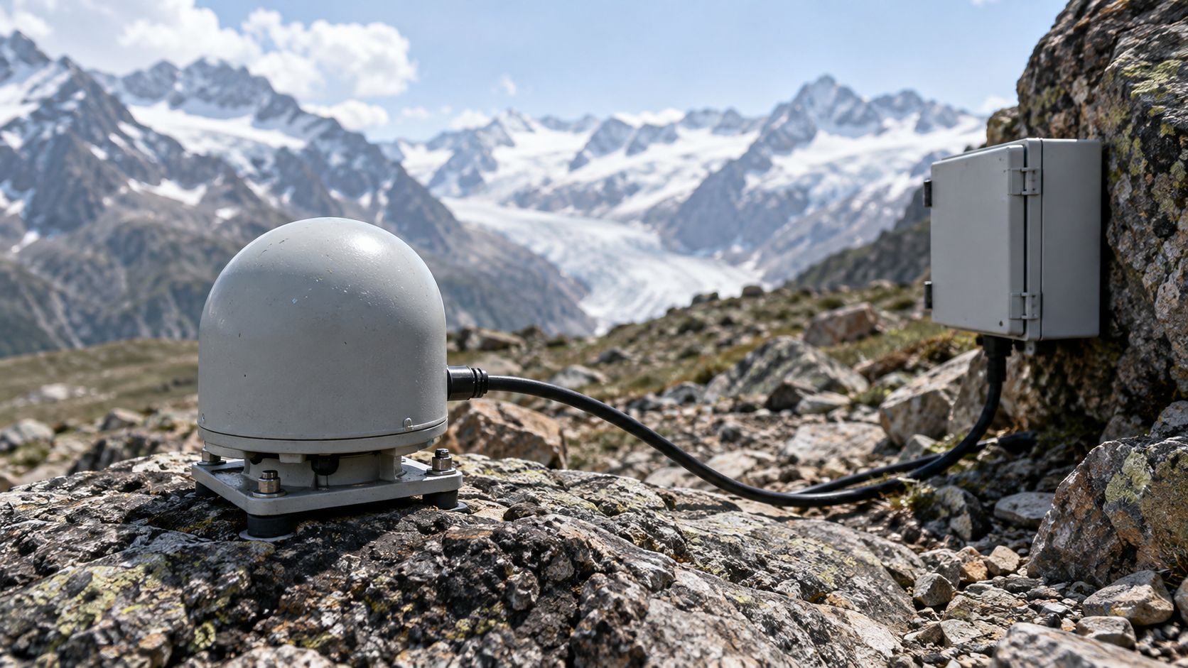
The WSL research institute explained the work on 15 September. A seismometer on the Lauchernalp recorded roughly 700 smaller events in the two weeks before the main event. More distant stations provided data for the analysis of the large collapse. Such records contain more than the information that something moved somewhere.
Forces and how they changed over time can be inferred from the signals. This gives researchers an additional way to check their calculations. A model should not only produce a similarly distributed mass of debris at the end. As far as possible, it should also match the signals measured during the movement. That is a stricter test than comparing the final picture alone.
The distinction can be explained with a simple consideration: different sequences can leave a similar end result. Anyone who also has a motion trace can rule out some of these possibilities. This narrows down the reconstruction further, without every detail having been directly observed.
What the study leaves open
A central result is the sharply reduced effective friction that the models used need in order to reproduce observations and deposits. For the physical explanation, the author team led by Jiahui Kang names several possibilities. The geotechnical findings are consistent with a possible contribution from elevated pore water pressure. Other mechanisms, such as the role of ice, segregation or fragmentation, cannot be ruled out on that basis.
This is no minor detail. “Low friction is required” and “this one process caused the low friction” are different statements. The first is supported by the model comparison. The second would claim more than the study allows. Especially with natural hazards, it matters not to present a plausible explanation as a conclusively proven cause.
A valley from the printer
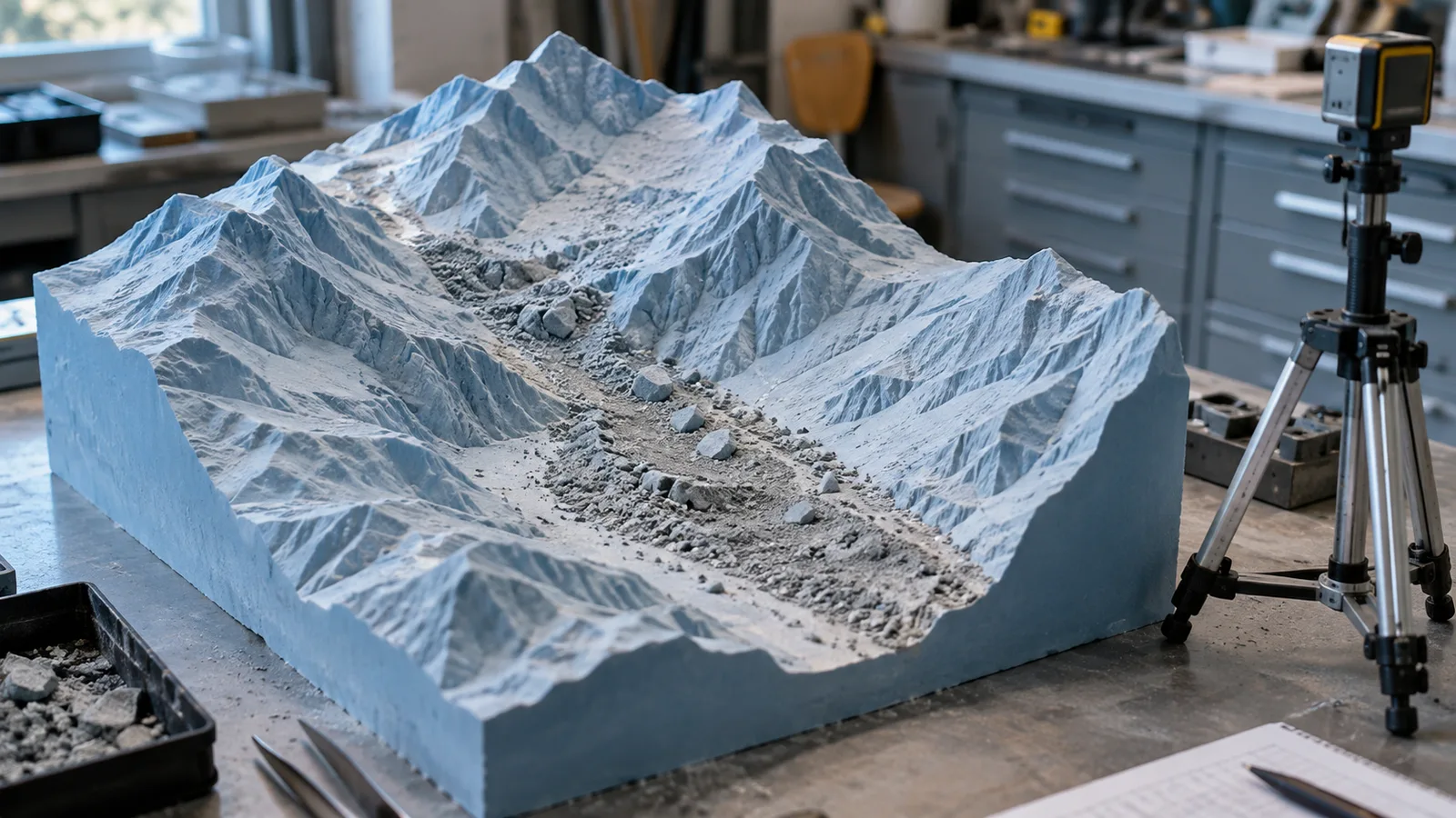
Another perspective comes from an ETH project presented on 8 September. The team led by Johan Gaume built a physical terrain model at a scale of 1:577. It consists of 56 printed parts and takes up around twelve square metres. Because of the spatial conditions, the landscape was arranged as a mirror image. It is an experimental tool, not an exhibition model claiming to show an unchanged view.
In the laboratory, materials and conditions can be varied in a controlled way. Water, sand and clay help to study selected processes and to test computer models. The advantage lies in repeatability: an experiment can be run again with altered conditions. The real disaster can neither be repeated nor retrofitted with additional instruments.
A scaled-down model, however, is not simply a small rockfall with all the properties of the original. The researchers have to decide which physical relationships should be represented. That is precisely why laboratory, field and numerical calculation complement one another. None of these perspectives fully replaces the others.
Understanding is a step, not a guarantee
For Switzerland, the gain in knowledge is practically relevant: better models can help to assess possible runouts of mass movements on a sounder basis. Yet a successful reconstruction of a known event does not mean that the timing and extent of a future rockfall can be predicted exactly. In hindsight, information is available that may be missing before an event.
The strength of the new work therefore also lies in its restraint. It makes clear which observations fit which explanation and where several possibilities remain. For dealing with natural hazards, that is more valuable than a seemingly seamless promise: decisions must be made with better knowledge, but still under uncertainty.
Sources
Original study: Communications Earth & Environment, 7 September 2026 · WSL: seismic reconstruction, 15 September 2026 · ETH Zurich: rockfall from the 3D printer, 8 September 2026


